


El Paso Traffic Impact Analysis (TIA)
PE-sealed Traffic Impact Analysis (TIA) and Traffic Impact Study (TIS) services
for the El Paso–Juárez region — city, county, and TxDOT coordination in one study.
On-time delivery. Clear communication. No surprises.
Why El Paso Developers and Design Teams Trust Gradient Systematics
El Paso's network is shaped by three forces found together nowhere else in Texas — binational crossings with Ciudad Juárez, Fort Bliss, and the Franklin Mountains. A study built on generic suburban assumptions misses all three.
We model binational crossing traffic
Port-of-entry freight tied to Juárez maquiladoras and cross-border commuter flows create peaks that suburban templates miss. We tune data collection, truck percentages, and time-of-day distribution to real border patterns.
We account for Fort Bliss
One of the nation's largest installations drives concentrated peaks on the northeast side along US-54 and its access gates. We fold shift-change and gate operations into the trip distribution rather than relying on standard commercial peaks.
We design for mountain terrain
The Franklin Mountains funnel travel onto limited crossing routes and create grade and sight-distance challenges on hillside sites. We account for terrain in access and circulation so the driveway plan is approvable and safe.
We coordinate with the TxDOT El Paso District
Sites on I-10, US-54, Loop 375, or SH-20 trigger TxDOT review — often near major corridor projects like Reimagine I-10. We handle access permits, spacing, and turn-lane warrants in one study alongside city and county review.
Project Types We Support in El Paso
Multifamily
Community traffic planning
Mixed-Use
Circulation design & access
Retail
Access optimization
Restaurant / Drive-Through
Queueing & stacking analysis
Gas Station / C-Store
Fuel queue & access review
Industrial / Warehouse
Truck routing & distribution
School / Daycare
Pickup/drop-off circulation
Medical Office
Patient & emergency access
Office
Campus traffic management
Redevelopment / Infill
Trip credit & net-new analysis
Large Planned Developments
Master-plan traffic planning
Special Generators
Transit-oriented & unique uses
Have an El Paso project in the works? Let's talk.
Request a FREE TIA ScopingEl Paso TIA and TIS Review Paths
El Paso-area projects may require traffic study review from the City, El Paso County, TxDOT, or more than one at once — depending on where the site sits and which roadway it accesses. Identifying the right review path early is what keeps a project out of permitting limbo.
City of El Paso Review
- City development & platting review
- Streets & Maintenance traffic engineering
- Capital Improvement mobility coordination
- Driveway access & internal circulation
TxDOT El Paso District
- State Highway Access Permit
- I-10 (Reimagine I-10), US-54, Loop 375, SH-20
- Driveway spacing & sight distance
- Turn-lane & signal warrant analysis
County & Regional Review
- El Paso County Public Works (Road & Bridge)
- Socorro, Horizon City & unincorporated areas
- Port-of-entry corridor coordination
- Subdivision & ETJ traffic assessments
Common Triggers — In El Paso, a full TIA is generally expected once a development is projected to generate roughly 100 or more peak-hour trips, with an early coordination meeting used to confirm scope. High-turnover uses such as drive-throughs, fuel stations, and logistics facilities may trigger review at lower thresholds, and new access on a state highway — I-10, US-54, or Loop 375 — almost always requires a TxDOT El Paso District study.
How We Deliver an El Paso TIA / TIS
Our standard timeline is four weeks. Need it sooner? We'll build the schedule around yours.
This schedule assumes timely availability of site plans, land use details, and agency scoping responses. We routinely compress or extend timelines to match your permitting deadline.
Tell us about your project, we'll handle the rest.
Request a FREE TIA ScopingWe Cover the Entire El Paso Region
From the binational core to the desert-edge growth areas.
Central & the Port-of-Entry Corridors
Downtown El Paso and the ports of entry — Bridge of the Americas, Paso del Norte, and Stanton Street — sit at the heart of the binational metroplex. Freight, retail, and commuter crossings shape traffic here in ways no inland Texas city experiences.
Northeast & Fort Bliss
Anchored by Fort Bliss and served by US-54 (the Patriot Freeway), the northeast side sees military-driven peaks from shift changes and gate operations. Residential and commercial growth around the installation must account for these non-standard patterns.
West Side & Trans Mountain
Hillside development on the west side and along Trans Mountain Road brings grade and sight-distance challenges, with the Franklin Mountains funneling regional travel onto a limited set of crossing routes. Access design is often the defining constraint.
East Side, Ysleta-Zaragoza & the County
Fast-growing east-side residential and logistics development near the Ysleta-Zaragoza crossing and out toward Socorro and Horizon City. El Paso County Public Works reviews the unincorporated areas, often alongside the TxDOT El Paso District on state frontage.
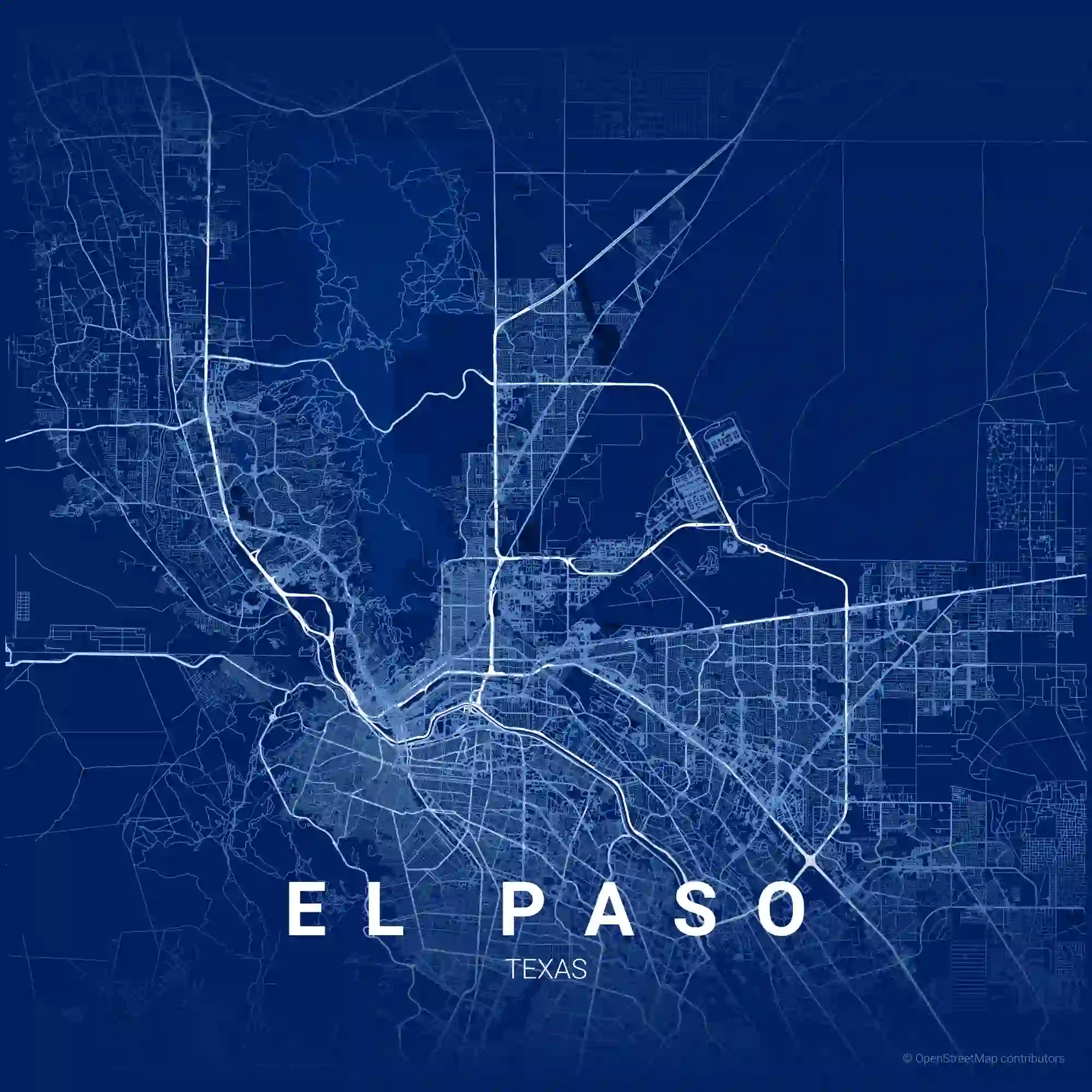
TIA and Traffic Impact Study Services Across El Paso
Key Standards and Guidelines
El Paso & Regional Guidelines
TxDOT Standards
El Paso is the westernmost major metro in Texas and, together with Ciudad Juárez, forms one of the largest binational metroplexes in the world. Development spans downtown redevelopment, east-side residential and logistics growth, west-side hillside neighborhoods, and expansion around Fort Bliss — and nearly every meaningful project must demonstrate its roadway impact through a Traffic Impact Analysis (TIA), also called a Traffic Impact Study (TIS).
The City of El Paso sets its own study thresholds and scope through its development review process, with traffic-engineering input from the Streets and Maintenance Department and mobility infrastructure coordinated through the Capital Improvement Department. As in most Texas cities, a full TIA is generally expected around the 100-peak-hour-trip threshold, confirmed through early coordination with the reviewing agency.
What sets El Paso apart is the combination of forces shaping its network. The ports of entry — the Bridge of the Americas, Ysleta-Zaragoza, Paso del Norte, and Stanton Street — drive binational freight and commuter traffic tied to Juárez's maquiladora economy. Fort Bliss generates concentrated military peaks on the northeast side. And the Franklin Mountains split the city into distinct sub-areas, funneling travel onto a limited set of crossing routes. Each of these demands data and assumptions that a standard suburban study would miss.
Outside city limits, El Paso County Public Works reviews the unincorporated areas, and when a development accesses a state-maintained roadway — I-10, US-54, Loop 375, or SH-20 — the TxDOT El Paso District reviews the study for a State Highway Access Permit. With major corridor programs like Reimagine I-10 underway, early TxDOT coordination is especially important. We prepare a single PE-sealed study that satisfies the city, county, and TxDOT in parallel.
El Paso studies are prepared by a Texas-licensed PE under TBPELS, within a firm TxDOT Pre-Certified in 21 transportation engineering categories and holding SBE and WBE certifications. Because the region's traffic is shaped by port-of-entry freight, Fort Bliss, and mountain terrain, we calibrate our Synchro, SimTraffic, VISSIM, HCS, and TransModeler models to El Paso and border-crossing data — coordinating each study across the City of El Paso, El Paso County, and the TxDOT El Paso District.
El Paso TIA and TIS — Frequently Asked Questions
What triggers a Traffic Impact Analysis in El Paso? +
The City of El Paso sets its own traffic-study thresholds and scope through its development review process. As in most Texas municipalities, a full Traffic Impact Analysis is generally expected once a development is projected to generate roughly 100 or more peak-hour trips, with smaller projects sometimes handled through a scaled traffic memo or trip-generation determination.
Because El Paso's network is shaped by mountain terrain, international crossings, and Fort Bliss, the City and the TxDOT El Paso District rely on an early coordination meeting to confirm whether a study is required and how it should be scoped. Gradient Systematics runs the trip-generation determination first and confirms the study scope with the reviewing agency before data collection begins, so the analysis matches what reviewers expect.
How does cross-border traffic with Ciudad Juárez affect an El Paso TIA? +
El Paso and Ciudad Juárez form one of the largest binational metroplexes in the world, and the ports of entry — the Bridge of the Americas, Ysleta-Zaragoza, Paso del Norte, and Stanton Street — generate traffic patterns unlike any inland Texas city. Commercial freight tied to Juárez's maquiladora manufacturing, cross-border commuter flows, and retail traffic all shape trip generation and time-of-day distribution.
Developments near the crossings or along the connecting corridors experience peaks driven by bridge wait times and shift schedules rather than typical suburban patterns. Studies for logistics, warehousing, and retail in these areas require data collection and assumptions tuned to binational flows — a standard suburban template would understate both volumes and truck percentages. We scope El Paso studies with the port-of-entry corridors in mind.
How does Fort Bliss affect traffic studies in El Paso? +
Fort Bliss is one of the largest military installations in the country and a major traffic generator on El Paso's northeast side. Shift changes, gate access schedules, and the installation's own growth drive concentrated peaks on the surrounding roadway network — particularly along US-54 (the Patriot Freeway) and the arterials feeding the post's access gates.
Developments in northeast El Paso and near the installation must account for these military-driven patterns, which don't follow standard commercial peak hours. We incorporate Fort Bliss-related traffic and gate operations into the trip distribution and capacity analysis so the study reflects real conditions rather than generic assumptions.
Who reviews traffic impact analyses in the El Paso area? +
Inside the city, traffic studies are reviewed through the City of El Paso's development process, with traffic-engineering input from the Streets and Maintenance Department and mobility infrastructure coordinated through the Capital Improvement Department. El Paso County Public Works (Road and Bridge) reviews projects in the unincorporated areas.
The TxDOT El Paso District reviews any access to a state-maintained roadway for a State Highway Access Permit, and given the region's major projects — including the Reimagine I-10 corridor program — early TxDOT coordination is especially important. A single project can involve city, county, and TxDOT review at once, so we identify every reviewer during scoping.
Which corridors most often bring TxDOT into an El Paso TIA? +
Any new or modified access to a state-maintained roadway requires a TxDOT El Paso District State Highway Access Permit. The corridors that most commonly bring TxDOT into a project include I-10 (subject to the ongoing Reimagine I-10 program), US-54 (the Patriot Freeway), Loop 375 (the Border Highway and Cesar Chavez), SH-20 (Alameda and Mesa), and Trans Mountain Road.
For sites fronting these routes, TxDOT evaluates driveway spacing, sight distance, turn-lane warrants, and operational impact on the state facility — often alongside a concurrent City or county review. We prepare a single PE-sealed study scoped to satisfy both the local agency and the TxDOT El Paso District.
How does El Paso's mountain terrain affect site access and studies? +
The Franklin Mountains split El Paso into distinct east, west, and northeast sub-areas, funneling regional travel onto a limited number of crossing routes such as Trans Mountain Road and the major freeways. This concentrates traffic and makes corridor capacity and access location more consequential than in a flat, gridded city.
Terrain also affects sight distance, grade, and driveway design on hillside sites, which are common on the west and northeast sides. We account for grade and sight-distance constraints in the access analysis so the driveway and circulation plan is both approvable and safe on El Paso's sloped sites.
How long does TIA review take in the El Paso area? +
Timelines depend on the reviewing agency and the study's complexity. City of El Paso reviews typically run several weeks per cycle and are tied to the development and platting schedule, so coordinating the traffic study with the overall approval timeline keeps the project on track.
TxDOT El Paso District reviews for State Highway Access Permits generally take longer where turn-lane design, signal warrant analysis, or coordination with a major corridor project like Reimagine I-10 is involved. When a project needs both local and TxDOT approval, we run the reviews concurrently so the overall schedule is governed by whichever review takes longest.
Related TIA Services
Traffic Impact Analysis (TIA)
Our full TIA service overview — methodology, deliverables, and project types we support.
What Is a TIA?
A plain-language guide to what a traffic impact analysis is and when you need one.
Explore Other Texas Metros
Houston TIA
City of Houston, Harris County, and suburban reviews for industrial, retail, and multifamily projects.
San Antonio TIA
Access management and turn-lane warrants along the I-35, US 281, and Loop 1604 corridors.
Austin TIA
TDM plans, mode-split, and multimodal analysis under Austin's stricter TIA guidelines.
McAllen TIA
Cross-border freight and Rio Grande Valley growth along US 83, US 281, and bridge corridors.
Tell Us About Your El Paso TIA Project
We'll help identify likely TIA scope, data needs, review risks, and next steps.