TRAFFIC MODELING VISUALIZATIONS
Road Network Level of Service Visualization:
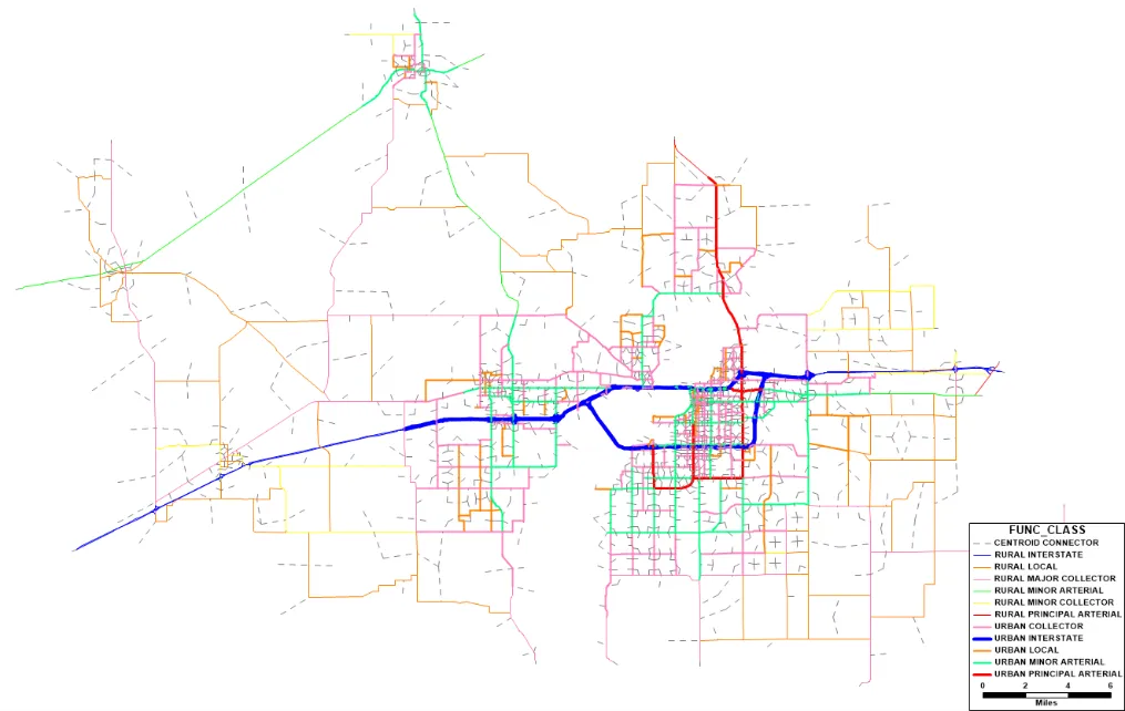
Our team utilizes advanced modeling software like TransCAD, CUBE Voyager, and VISUM, integrated with GIS tools, to offer a sophisticated view of road network performance. This visualization is a crucial aspect of our approach to transportation planning. For instance, when evaluating multiple transportation improvement scenarios, such as the addition of express lanes or new highway developments, our visual representations serve as powerful decision-making aids. They vividly illustrate how these changes will impact future congestion levels, helping clients make well-informed choices.
3D Visualization for Microsimulation Analysis:
In addition to road network-level visualization, we excel in 3D visualization techniques based on microsimulation analysis. This approach simplifies the comprehension of complex traffic performance indicators like delay, queue lengths, and other Measures of Effectiveness in a variety of scenarios. Whether it’s assessing the impact of interchange or intersection improvements, evaluating the implementation of Intelligent Transport Systems, managing traffic during special events or emergencies, or understanding interactions between pedestrians and vehicles, our 3D visualization provides a tangible and intuitive view of how these factors affect traffic flow and safety.


